Contact:
Axis3D MON
500 Points, 40 Stations, 60% Time-savings
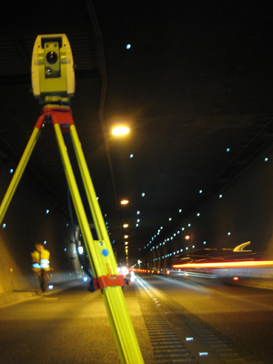
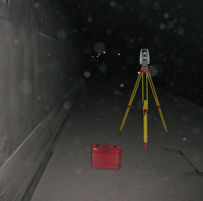
The current single-tube Bosruck tunnel under the Ennstaler Alps is part of the Pyhrn- Autobahn, linking the Austrian states of Upper Austria and Styria. The 5.5km long two-way traffic tunnel is the bottleneck of the busy north-south route. Several times a year measurements are taken to monitor and document changes to the existing tunnel. The onboard software Axis3D MON makes work easier for the surveyors while also saving a considerable amount of time.Axis3D MON helps us complete our work in record time with the confidence of knowing we haven’t forgotten any points.“
Martin Weissnar, Project Manager Stolitzka & Partner
 The current Bosruck tunnel tube has been in operation since 1983. It runs through extremely difficult geological ground conditions: the continually squeezing ground of the Hasel mountain range has damaged the tunnel lining considerably in some places. Martin Weissnar, project manager for surveying contractor Stolitza & Partner, speaks about the difficulties facing the surveyors: “Since there is no adequate alternative route, only one lane can be closed at a time, and only at night. Therefore we must work when a partial closure is planned. In the difficult conditions created by simultaneously ongoing maintenance work, we must measure as quickly as possible.”
Measurement profiles with 16 points each were installed in the tunnel areas damaged by geological movements. At 5m apart, some of them are very close to each other. Weissnar explains: “In each measurement profile the three sections traffic, fresh air, and exhaust air must be measured separately, bringing the total to 40 stations,” and he adds, “one of the difficulties of this special project is the long and arduous access on foot to the sections in the ventilation ducts above the road.”
The onboard software Axis3D MON cut total measurement time by two-thirds for Stolitzka & Partner, compared to previous measurements with conventional solutions. “By using Axis3D MON we were able to offer competitive pricing in our proposal, which got us the job. In a project like this, every minute counts, as more than 500 points are measured from more than 40 stations. The points are often close to each other but Axis3D MON automatically positions to, recognizes, and assigns each one. Target type and automatic targeting mode are also set automatically. In addition to the huge time savings, we can also rest assured that no point is forgotten,” says a very pleased Weissnar. “In about 12 hours a two-man team with one total station can measure all 500 points with Axis3D MON, and that includes getting to the measurement sites as well as installing and uninstalling the points!”
Client: ASFINAG
Contractor: Stolitzka & Partner Civil Engineers
Project task: Geotechnical measurements of the damaged tunnel lining; survey of >500 points in 31 profiles from more than 40 stations
Time needed per measurement: 12 hours
Software/Hardware: Onboard-Software Axis3D MON, Leica TPS1200
Staff: Surveying Engineer with assistant
for Geodesy and Industrial Metrology
PC | Web | Mobile Systems | Embedded Systems | 3D-Visualization